If you were dreaming of a white Christmas, Flin Flon’s weather last month wasn’t exactly cooperative. The community posted its warmest-ever and driest-ever December last month, breaking several records for heat and lack of snow.
Six days in December saw highs peek over the zero-degree Celsius mark, including as late as December 31. Those records also show that, on six different days last month, Flin Flon had its warmest-ever recorded outdoor temperature on those respective dates. New records for heat in Flin Flon were set Dec. 13, 14, 16, 23, 29 and 31, according to Environment Canada data.
Historical data shows that Flin Flon typically sees December highs of around minus-12.4 degrees, lows of minus-20 and a daily mean temperature of minus-16.2 degrees. Last month’s weather data shows a nine degree change in highs (on average, the daily high temperature last month was minus-3.5 degrees), a 6.5 degree jump in lows (minus-13.5 degrees on average) and a nearly eight degree jump in daily mean temperatures (minus-8.5).
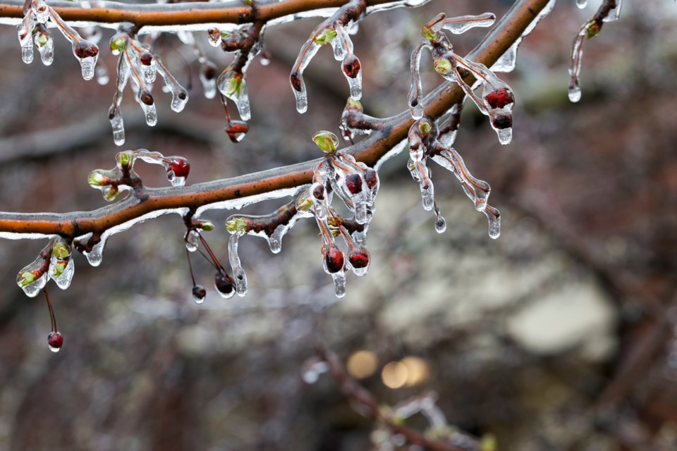
Weather data also shows that last month was the driest December ever recorded in Flin Flon. Almost no snow fell for the entire month, with only .1 millimetre of snow coming down Dec. 20 according to Environment Canada records - by contrast, Dec. 2022 saw 18 millimetres of snowfall during the month. The Pas also had its driest December ever recorded, seeing just .6 millimetres of snow all month.
Similar temperature trends showing much warmer December weather have been tracked around Canada, including rain in Quebec and the maritime provinces, a lack of snow and ice at western ski resorts and other unseasonal complications. In Alberta, 64 forest fires are still active in the province, an unheard number in the middle of winter. All told, about 10 million square kilometres of Canadian landmass reported warmer-than-normal December weather last month.
The main cause for the warmer weather, aside from potential larger, long-term global changes in climate, is the phenomenon known as El Niño. Back for the first time in seven years, an El Niño is a naturally occurring climate pattern that starts with warming surface temperatures in parts of the Atlantic Ocean. Those warmer than average water temperatures can ripple out and cause widespread impacts on regional and global climate, including heavy rainfall, drought, extreme weather events or unusually warm or cold temperatures.
“The onset of El Niño will greatly increase the likelihood of breaking temperature records and triggering more extreme heat in many parts of the world and in the ocean,” said World Meteorological Organization secretary-general Prof. Petteri Taalas when the organization declared an El Niño last July.
For Flin Flon, the warmer temperatures are unlikely to continue far into January, according to Environment Canada forecasts for this week. According to the forecasts, temperatures early this week are expected to stay warm during the day, but are expected to bring snow with them through Wednesday and Thursday, with overnight lows this weekend anticipated to drop into the low minus-20 degree range.


